AirVis Spatial Lets AI Understand and Navigate Your Gaussian Splats
Connect your Gaussian splat to Codex, and AI can look around with you, help you find things, and explain what it sees.

AirVis has introduced AirVis Spatial (opens in a new tab), a new tool that connects Gaussian splats to Codex. Users can ask it to find objects, move to another part of a scan, or describe a location.
In Arun Kurian’s launch demo, a question about a nearby basketball court sends the view above a scanned neighborhood. The AI identifies a red sports court and describes its position beside parking and park paths.
A second example starts on steps climbing a grassy hill. Asked to go to the top, the system changes the viewpoint to overlook the surrounding city. Follow-up questions ask about the location and a tower in the distance.
From Video to a 3D Space
The workflow starts with recording a video and turning it into a Gaussian splat in AirVis Studio (opens in a new tab). That creates a 3D reconstruction of the captured place, which you can then connect to Codex. Kurian says AirVis Spatial is available now for free with Studio.
We previously covered how AirVis Studio creates 3D scenes locally (opens in a new tab). The desktop app runs on Apple-silicon Macs and Windows PCs. Its offline scene-building workflow is separate from the Codex connection shown here.
More from Capture & Create.
Browse all stories
SketchUp · 2 min read
XGRIDS Gaussian Splats Now Work With SketchUp’s Splat Extension
The Gaussian Splats extension brings captured spaces into the modeling window, where designers can snap new geometry to the scan and compare it with their plans.
3D Scanning · 2 min read
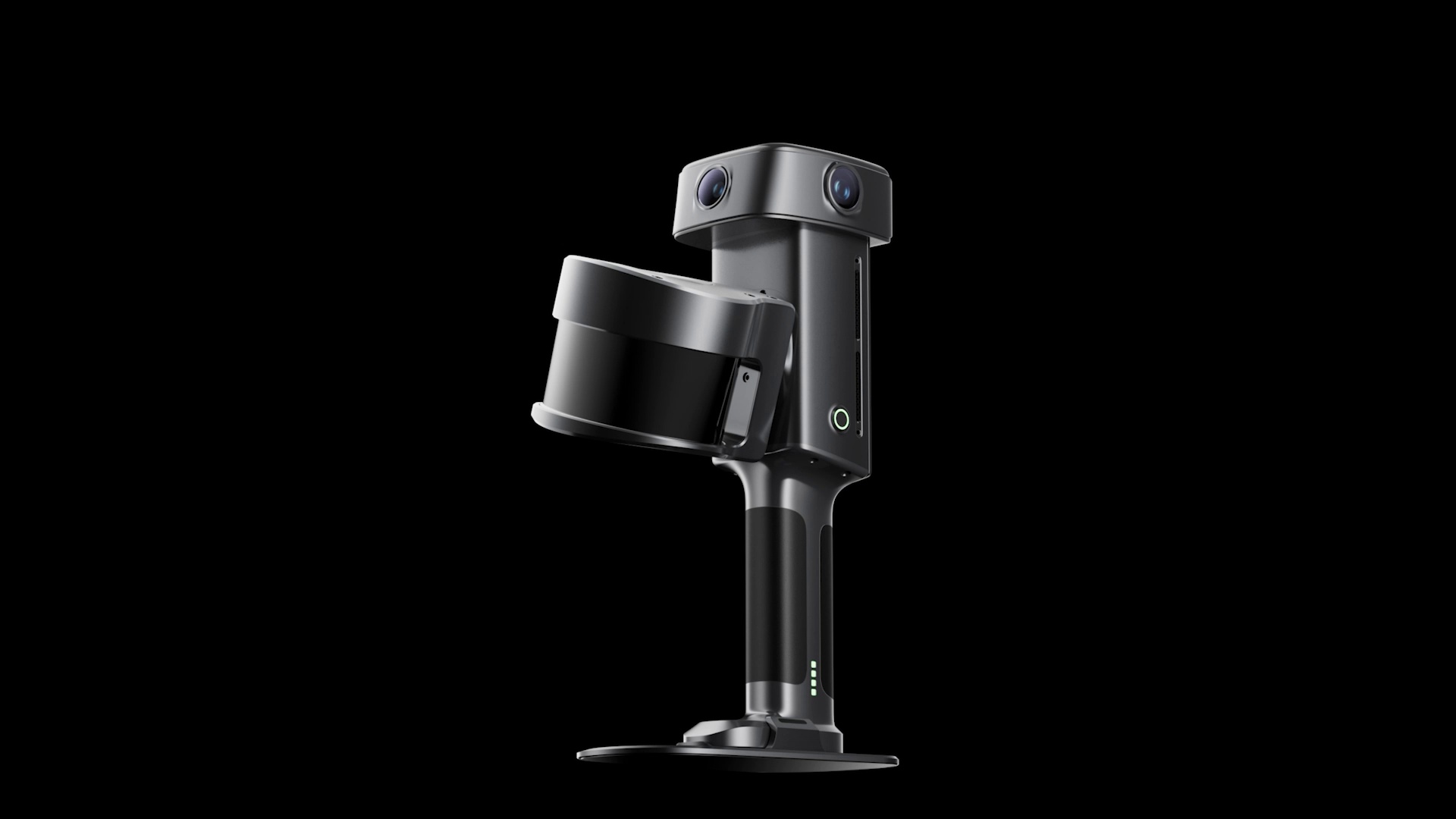
XGRIDS Unveils Lixel L3 Scanner With 5 mm Accuracy and 4K HDR
The L3 upgrades XGRIDS’ handheld scanning hardware with larger camera sensors, built-in positioning, and a screen for use in the field.
World models · 2 min read
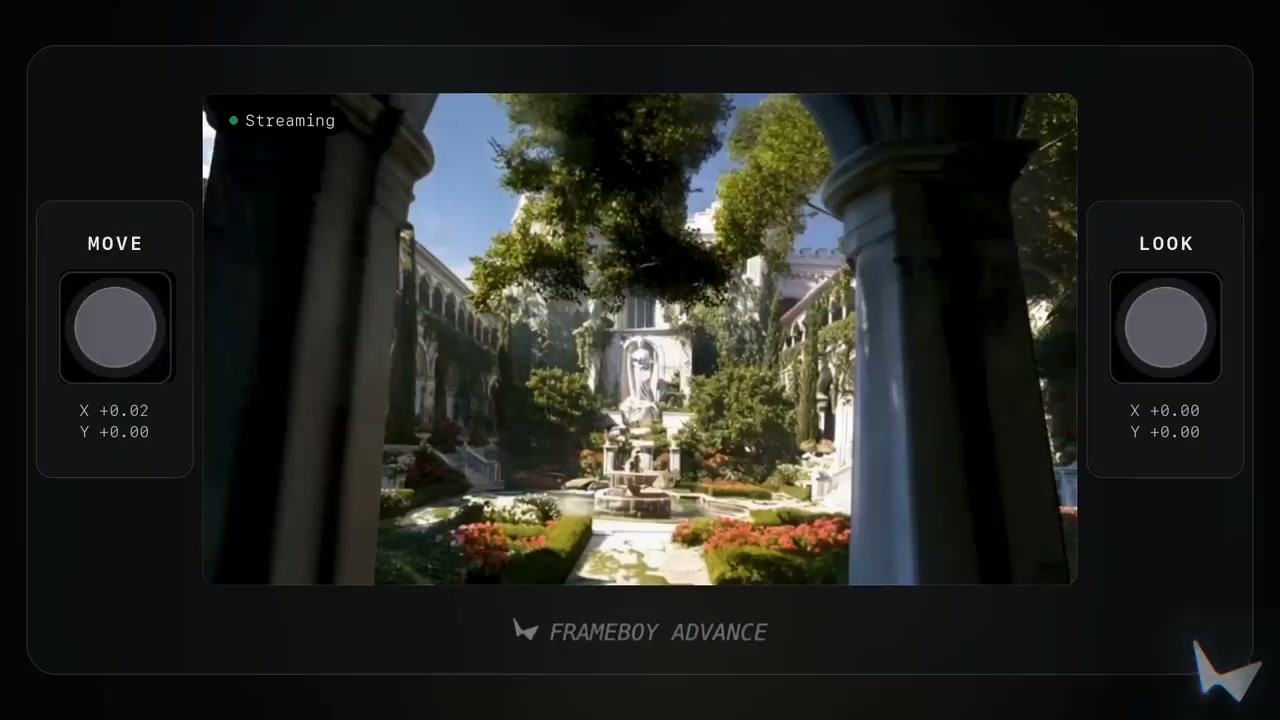
World Labs Previews Real-Time World Generation With Atlas
The AI model creates new views as you move, using reference images and earlier frames to keep the scene consistent.