
Google Earth can now reimagine any place with AI.
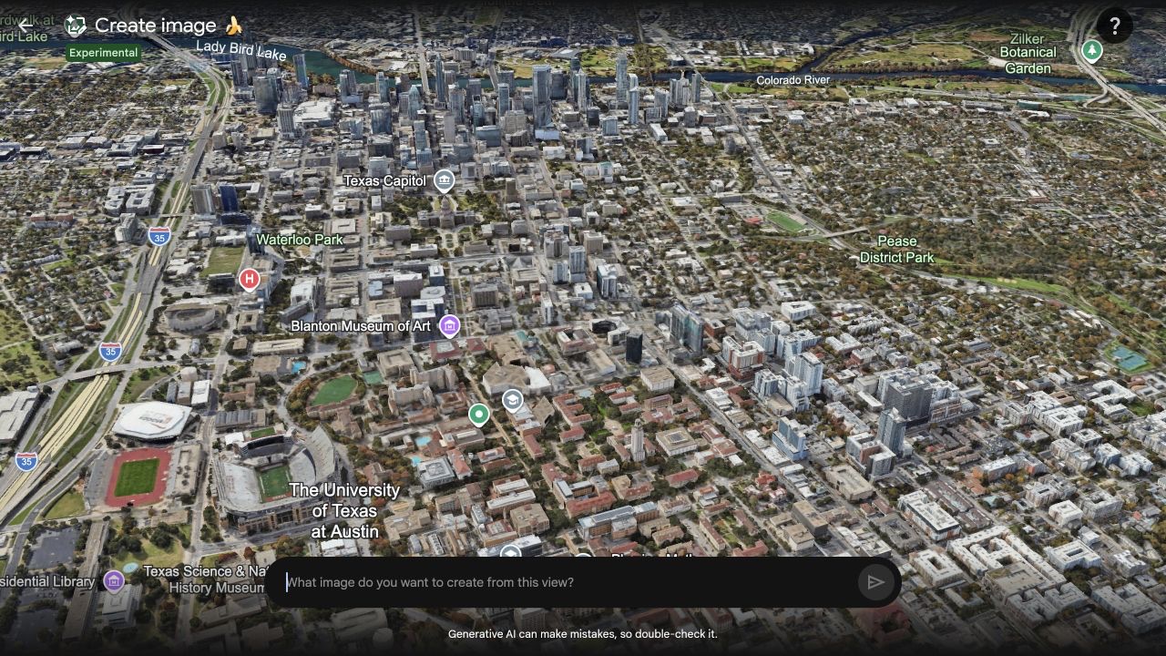
Create image starts with the map on screen. AI turns it into a new scene that you can edit and save.

Bilawal Sidhu turned daytime Austin into a night scene without leaving Google Earth. In the same demo on Threads (opens in a new tab), he pictured the Colosseum in another era and saved the result to his map.
He did it with Create image (opens in a new tab), a new tool marked Experimental. It uses the place already on screen as the starting point for an AI picture.
Start with the map
Open a place and choose a view. Then type what you want to see. Google Earth keeps the location and camera angle while the AI creates a new image.
You can ask for another change, refine the result, or save it to a project. Sidhu called the feature Nano Banana. The interface uses a banana icon, but Google does not name the exact AI model.
Picture what could be there
Create image makes a flat picture. It does not rebuild the live 3D map or add places you can move around.
Google warns that AI can make mistakes. An ancient version of the Colosseum may look real, but it is not a historical record.
The value is speed. A planner could show how a park might fill an empty lot. A designer could test a building at night. A storyteller could move a familiar place into another time.
Google Earth becomes a canvas
Create image is still labeled Experimental. Google has not said who will get it or when. Spatial Insider found it in the web app on a Google AI Pro account.
For now, it makes one picture at a time. That is still a big change for Google Earth. The map no longer has to show only what is there. It can also help people envision what could be.
More from Capture & Create.
Browse all stories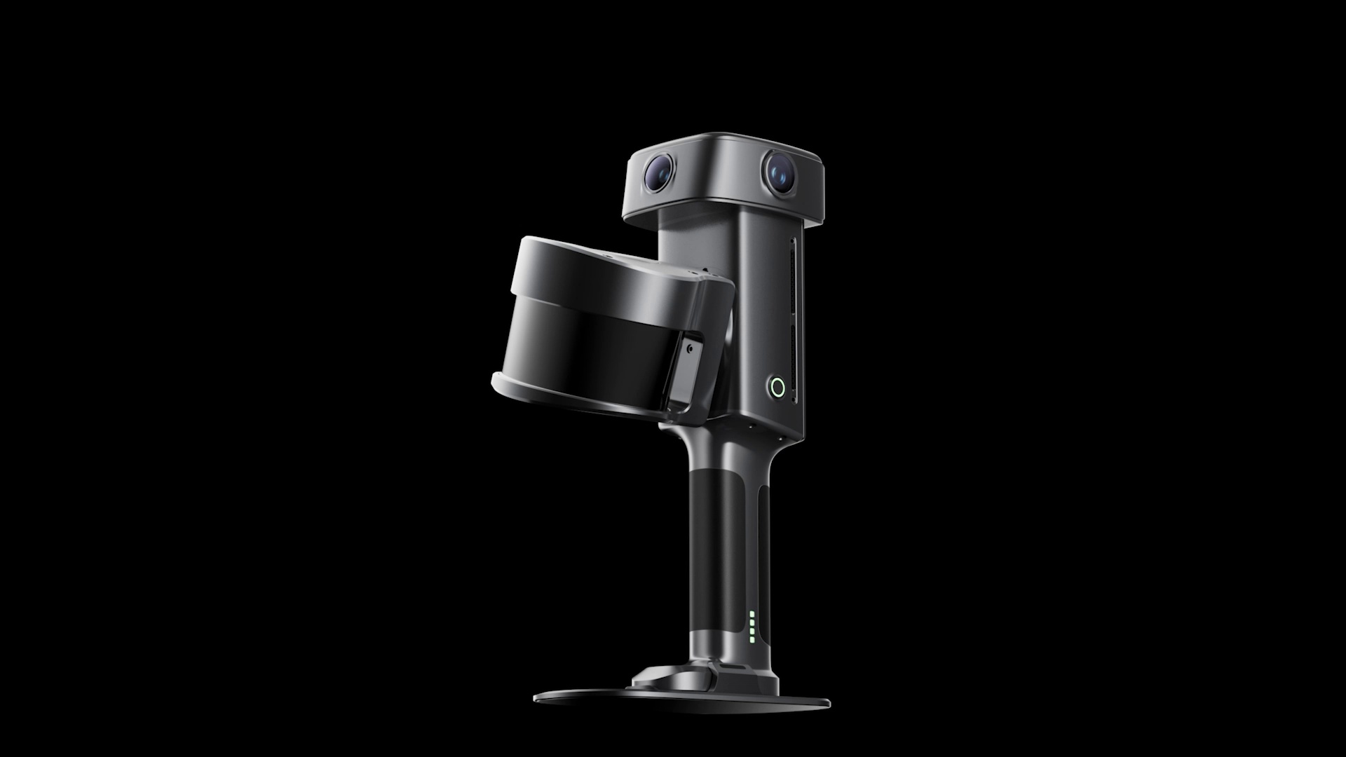
3D Scanning · 2 min read
XGRIDS Unveils Lixel L3 Scanner With 5 mm Accuracy and 4K HDR
The L3 upgrades XGRIDS’ handheld scanning hardware with larger camera sensors, built-in positioning, and a screen for use in the field.
World models · 2 min read
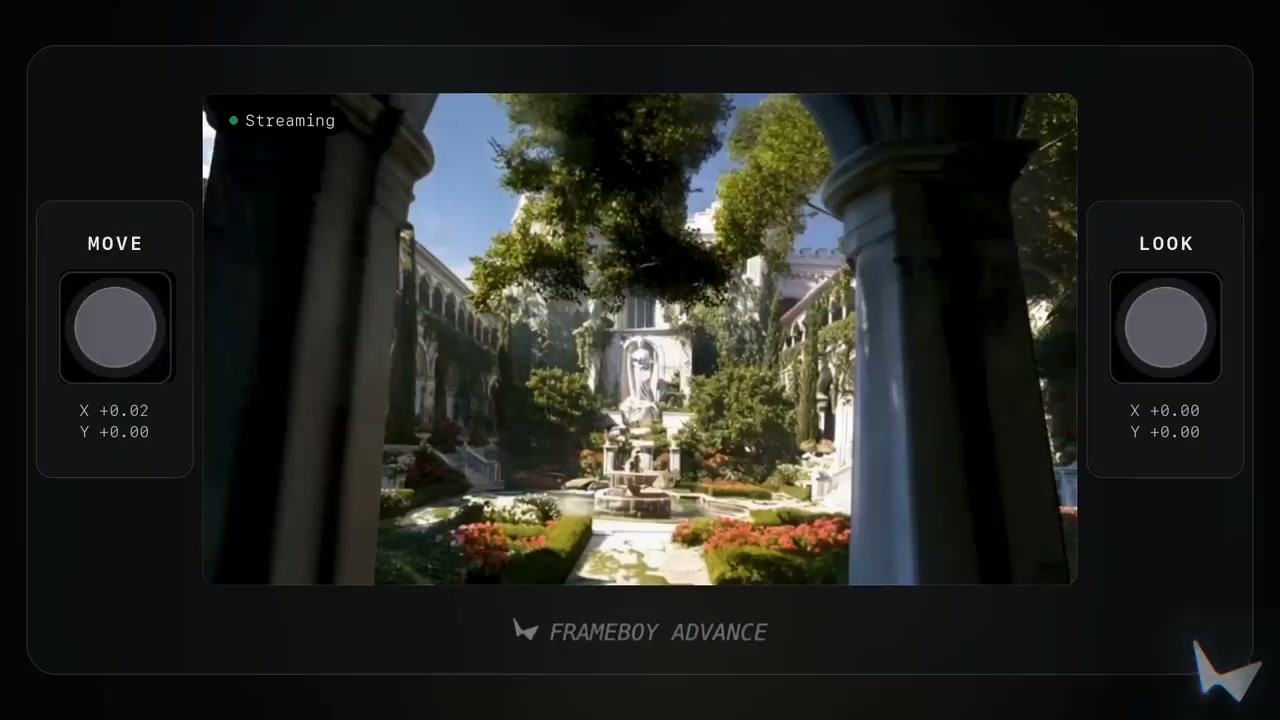
World Labs Previews Real-Time World Generation With Atlas
The AI model creates new views as you move, using reference images and earlier frames to keep the scene consistent.

AI 3D Creation · 2 min read
Meshy Launches Its New iPhone App
Powered by Meshy 7, the app turns photos and ideas into 3D models you can preview in your room and export for printing.