Mosaic Launches Meridian 2 Mobile Mapping System for One-Person Crews
The roof-mounted rig combines a 91.2-megapixel 360-degree camera, 32-channel lidar, and survey-grade positioning, then packs into two small cases for travel.
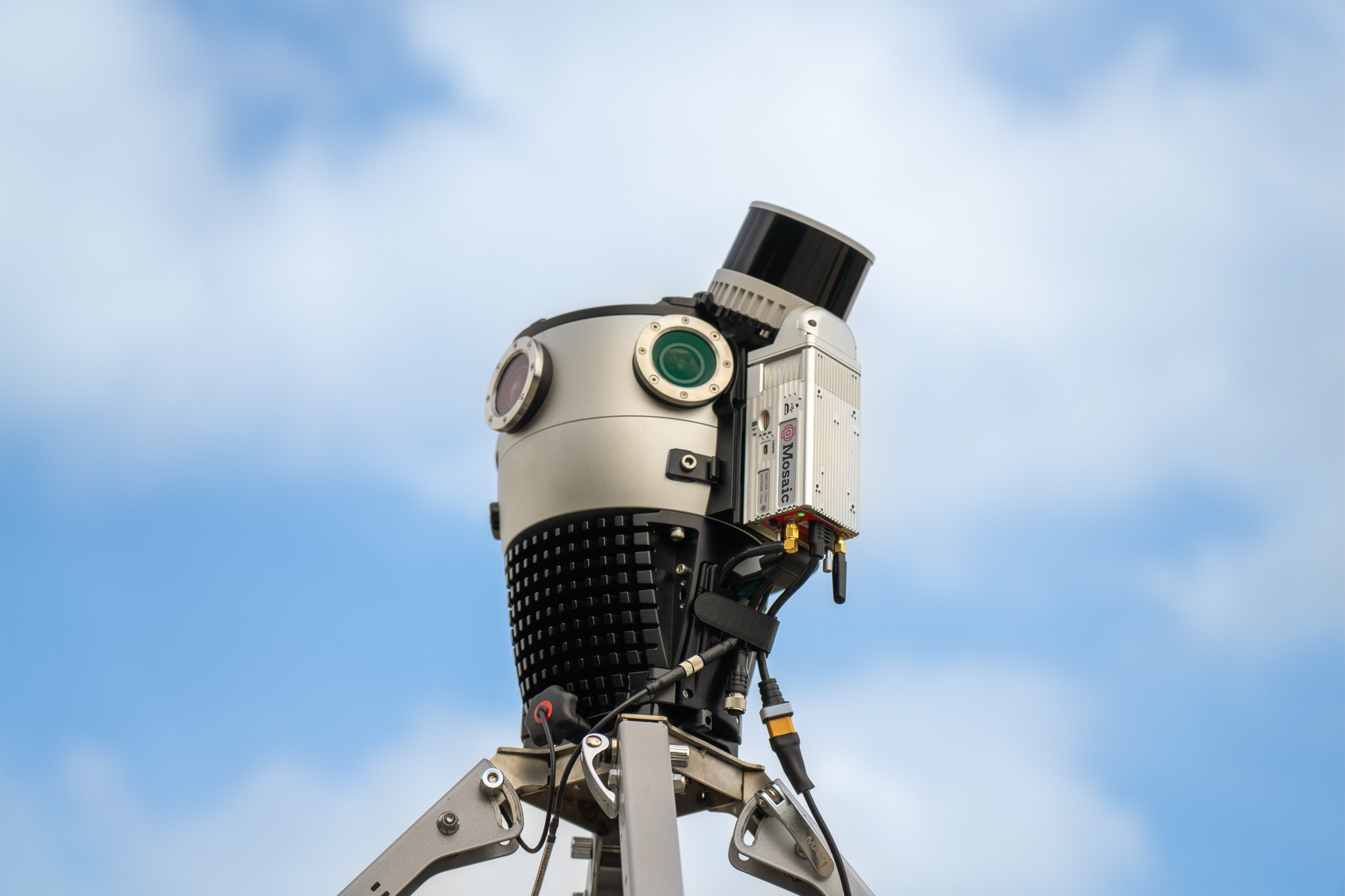
Mosaic has launched Meridian 2, a compact mobile mapping system designed so one person can travel with it, mount it on a vehicle, and capture streets or infrastructure in 360 degrees and 3D.
Mobile mapping systems combine cameras with lasers and positioning sensors. The result can pair Google Street View-like panoramas with a measured 3D point cloud that surveyors, utilities, and cities use to document roads and physical assets.
Hardware
At the center of Meridian 2 is Mosaic X, a 360-degree camera that uses six global-shutter sensors to create 91.2-megapixel panoramas. A global shutter captures the whole frame at once, which can reduce the bending and distortion caused by motion while a vehicle is moving.
Mosaic pairs the camera with 32-channel lidar and survey-grade GNSS and INS hardware. Lidar measures distance with laser pulses, while the positioning system tracks where the rig is and how it moves. Together, those sensors let software place imagery and 3D points along the route where they were captured.
The new design brings the camera, lidar, satellite antenna, inertial sensor, quick-release plate, and folding car mount closer together. Mosaic says the rigid arrangement is built to hold its calibration through travel, temperature changes, and regular field use, avoiding a separate alignment routine before each job.
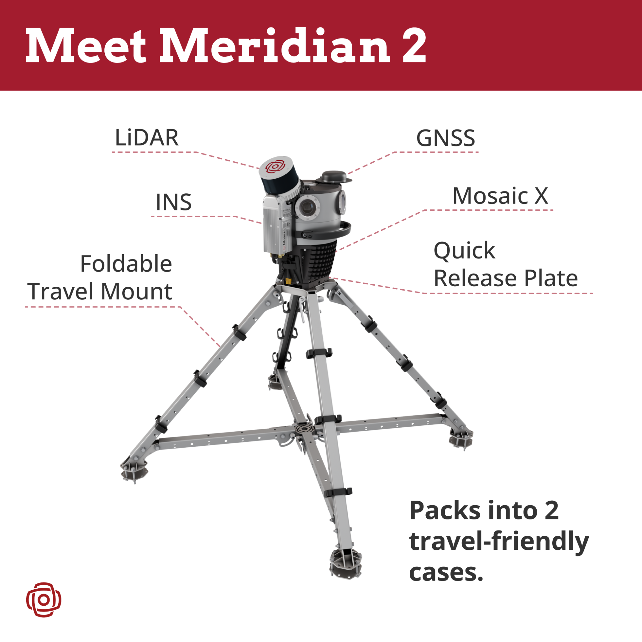
That tighter layout also raises the lidar above the vehicle roof. Mosaic says the position gives it an unobstructed 360-degree view for capturing building faces and equipment above the road. Independent field testing will be needed to measure the system's accuracy and calibration stability across different routes and conditions.
Fieldwork
Meridian 2 is built around a one-person workflow. Mosaic says the quick-release mount can be installed or removed in under a minute, and the complete system fits into two travel cases instead of requiring a cargo pallet or dedicated mapping vehicle.
That portability could matter as much as a denser point cloud for crews that fly to a job, work from ordinary passenger vehicles, or need to move between sites without a large support team. Mosaic is positioning Meridian 2 for projects that need professional imagery and 3D data but do not require the sub-centimeter absolute accuracy of larger high-end systems.
Availability
Meridian 2 is available to order now. Mosaic has not listed a public price, shipping estimate, system weight, or complete accuracy specification for the new configuration.
Current Meridian owners can send in their systems to have the core sensing hardware rebuilt into the new arrangement. Owners of a standalone Mosaic X can also send the camera to Mosaic to have it integrated into a complete Meridian 2 system.

Mosaic will show Meridian 2 at Intergeo in Munich from September 15 through 17. The event will give mapping teams a closer look at whether its compact hardware can deliver the simpler field workflow Mosaic has designed around it.
More from Capture & Create.
Browse all stories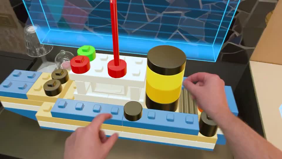
Blockworks · 2 min read
Blockworks Turns Your Words Into Builds with AI on Apple Vision Pro
A new AI demo makes a boat, a bicycle picture, and a statue from virtual blocks you can pick up and take apart.
Tripo AI · 4 min read
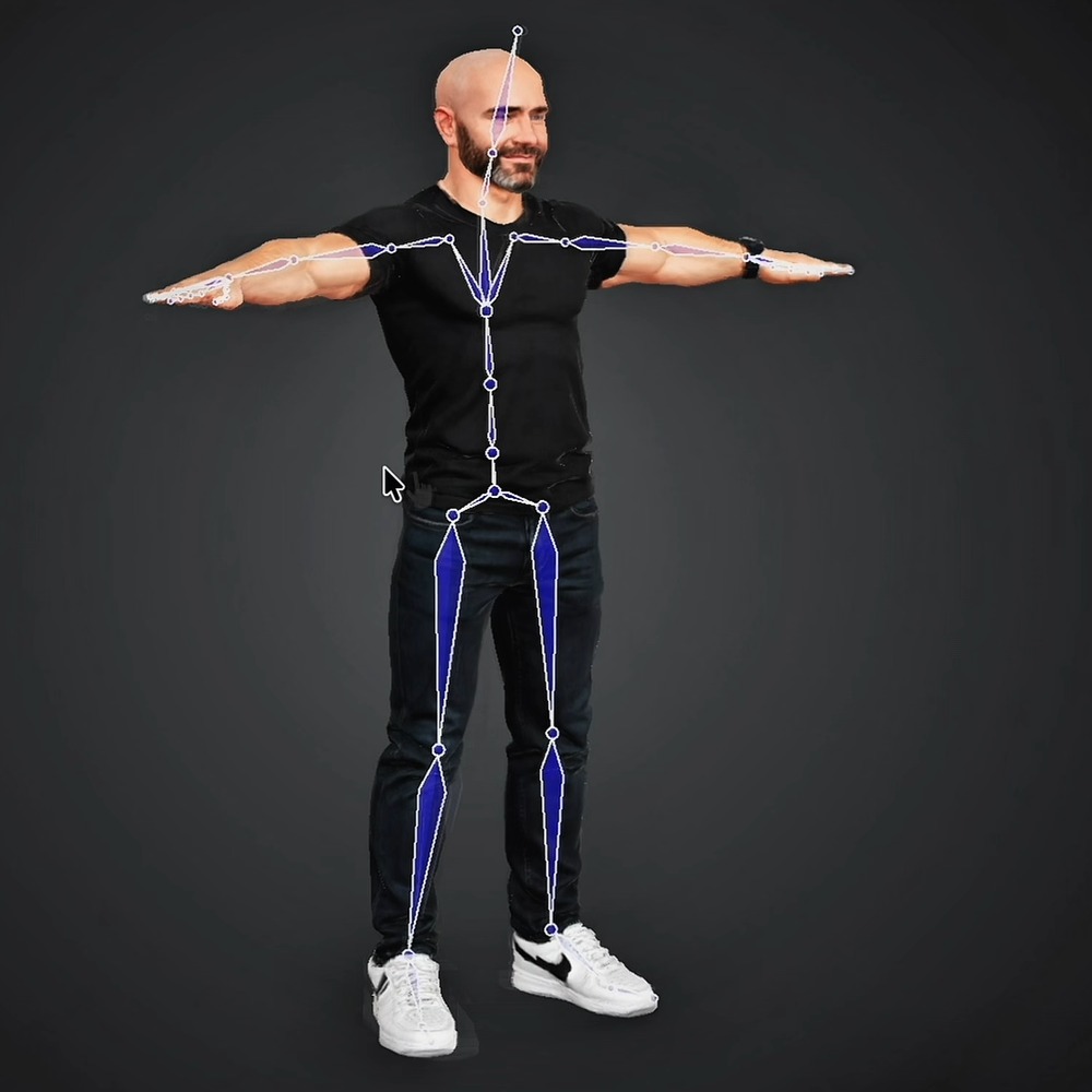
Tripo Adds 3D Animation From Text Prompts
Creators can generate short actions from prompts and combine up to five motion segments, with skeleton options for Unreal Engine, Unity, and avatar workflows.
3D mapping · 2 min read
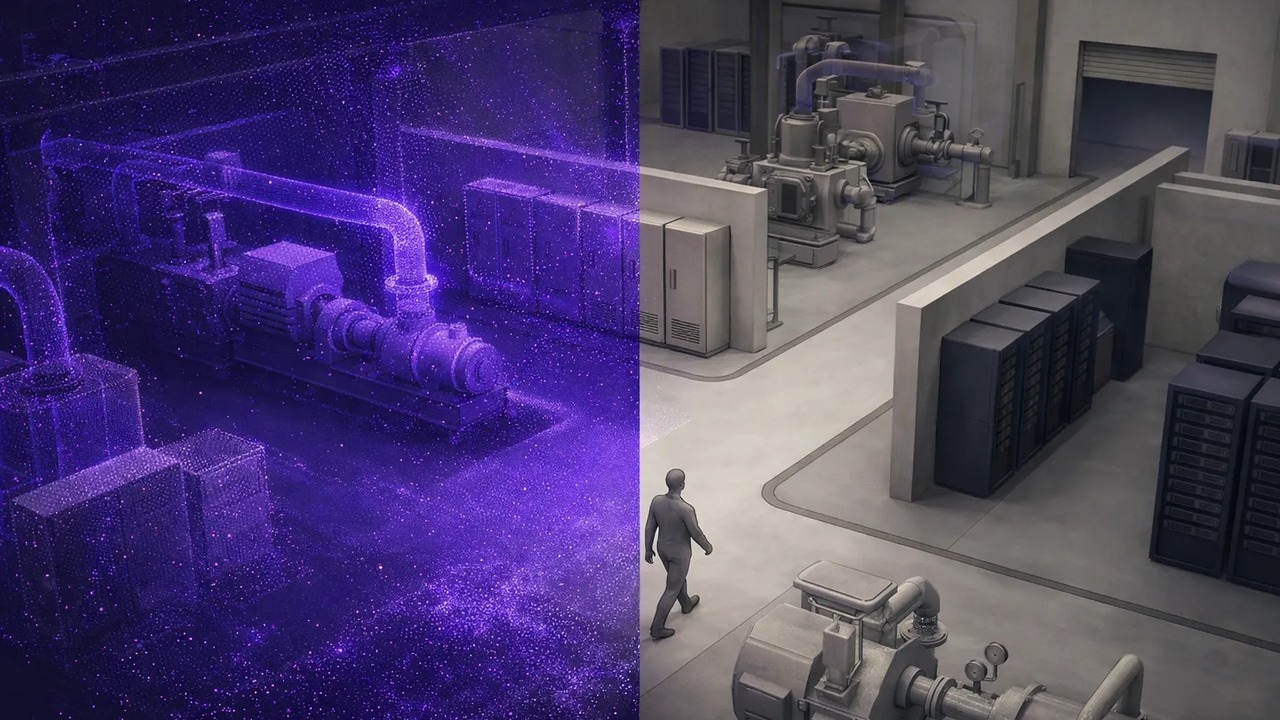
MultiSet Adds 3D Scan Exports for NVIDIA’s Robot Simulator
The latest update also lets devices find nearby maps automatically, combines separate survey scans, and makes mapped spaces shareable in a browser.